Tech Upgrades

Our selection of the 6 best marine GPS navigation systems (May 2026)

Discover how to choose, install, and maintain the best marine GPS navigation systems for yachts, including Garmin, Raymarine, and Lowrance chartplotters, sonar, and Navionics charts.

13 May 2026 10 min read
Discover our ranking of the 6 best marine GPS navigation systems based on our tests.

Why the best marine GPS navigation systems matter for yacht owners

Serious yacht cruising demands the best marine GPS navigation systems rather than repurposed car devices. When you rely on a dedicated marine GPS navigator, you gain chart accuracy, reliable GPS receiver performance, and integration with other marine electronics that keep your yacht and guests safe. A well specified GPS unit also reduces fatigue during long passages by presenting real time data clearly on a bright touch display.

High end products from Garmin, Lowrance, and Raymarine now merge marine GPS chartplotters with sonar, radar, and even sailing polars. A modern gps navigator can overlay Navionics charts, tidal streams, and AIS shipping targets on a single map so you interpret complex situations at a glance rather than juggling several screens. This level of integration is especially valuable when you thread narrow channels in the Great Lakes or approach crowded Mediterranean marinas at night.

For dedicated yacht owners, the choice between compact gps units and full size glass bridge displays is more than aesthetics. The right marine electronics suite must match your hull size, helm ergonomics, and the type of cruising you enjoy, whether that is coastal hopping, offshore passages, or inland routes across the Great Lakes. Taking time to check how each GPS map display behaves in bright sun, at night, and in rough weather will pay off every time you leave the dock.

Ranking

#1 🏆 Best choice
Simrad GO Chartplotter and Fish Finder, with Transducer and Radar Options, Preloaded C-MAP DISCOVER Chart Card 9" MFD + 83/200 XDCR

Simrad

Simrad GO Chartplotter and Fish Finder, with Transducer and Radar Options, Preloaded C-MAP DISCOVER Chart Card 9" MFD + 83/200 XDCR

  • Bright 9" touchscreen with an interface that’s easy to learn and use
  • Includes basic 83/200 kHz transducer and C-MAP Discover charts for US/Bahamas, so you’re usable out of the box
  • NMEA 2000 and radar-ready, with Wi-Fi for updates and screen mirroring
Overall, the Simrad GO9 XSE with the 83/200 transducer and C‑MAP Discover card is a solid mid‑range combo for someone who wants a clean, touchscreen chartplotter and a straightforward fish finder in one unit. The main strengths are the bright 9" display, the intuitive interface, and the fact that you can add radar and NMEA 2000 gear later if you feel like upgrading your boat’s electronics over time.It’s not perfect. The bundle can be a bit misleading if you don’t read carefully: radar is an option, not included, and you might run into card format or cable surprises if you assume everything is there. The included transducer is fine for casual fishing, but not for hardcore sonar nerds chasing the best target separation and imaging. Still, for normal coastal cruising and weekend fishing, it gets the job done without being a pain to use.I’d say this unit is well suited for small to mid‑size boat owners who want a modern touchscreen plotter, plan to fish regularly but not professionally, and like the idea of building out a NMEA 2000 network and maybe radar later. If you’re on a tight budget, don’t care about networking, or just need basic GPS + depth, a cheaper, simpler unit will make more sense. If you want top‑tier sonar or a true all‑in package with radar included, you’ll need to look higher up the range – and be ready to pay for it.
8.5 /10
★★★★★ ★★★★★
🌟 Excellent See full review →
See offer Amazon
#2 💰 Best price
Garmin GPSMAP 79s, Marine GPS Handheld with Worldwide Basemap, Rugged Design and Floats in Water

Garmin

Garmin GPSMAP 79s, Marine GPS Handheld with Worldwide Basemap, Rugged Design and Floats in Water

  • Rugged, floating design that actually holds up to spray, drops, and general abuse
  • Accurate GPS with support for multiple satellite constellations and a reliable 3‑axis compass
  • Runs on AA batteries with realistic 15–20 hours of use and easy refueling with spares
Overall, the Garmin GPSMAP 79s is a solid, no‑nonsense handheld for people who really spend time on the water and want something tougher and more reliable than a phone. The positioning is accurate, the track recording is clean, the compass and barometric altimeter are useful extras, and the device clearly handles spray, drops, and general abuse better than most electronics. The fact that it floats and runs on AA batteries makes it practical for small boats, kayaks, and as a backup on bigger vessels.It’s not perfect though. The interface feels dated, the base maps are very basic, and to really use it as a primary navigation device, you basically have to invest in extra charts. Once you factor in the price of maps and a decent set of rechargeable AAs, it’s not exactly cheap. For someone who just goes out occasionally and already uses a smartphone app, it’s hard to justify unless you’re really worried about water, cold, or battery issues on the phone.If you’re the type who likes robust, dedicated tools and spends serious time offshore, fishing, or exploring in small boats, the 79s is a pretty solid choice that will quietly do its job. If you mostly cruise in familiar waters and are happy with your phone plus a good waterproof case, you can probably skip it and save your money.
8.4 /10
★★★★★ ★★★★★
🌟 Excellent See full review →
See offer Amazon
#3
Marine Chart Plotter Boat GPS Navigator GPS Chart Plotter Satellite Navigator with GNSS Antenna Dual Map System IPX6 Waterproof for Marine Boat Navigation

EVGATSAUTO

Marine Chart Plotter Boat GPS Navigator GPS Chart Plotter Satellite Navigator with GNSS Antenna Dual Map System IPX6 Waterproof for Marine Boat Navigation

  • Stable and accurate GNSS positioning with GPS + BeiDou support
  • Large storage for waypoints, routes and tracks (more than enough for casual use)
  • Comes with external antenna, cables and bracket so you can install it without buying extras
After using the EVGATSAUTO marine chart plotter for a handful of real outings, my take is pretty straightforward: it’s a functional, budget-friendly plotter that covers the basics well enough, but it’s not trying to compete with the big brands on polish or features. The GNSS performance is solid, the screen is readable, and the waterproofing held up fine to spray and rain. For simple navigation, following tracks, and dropping waypoints on lakes or nearshore waters, it gets the job done without drama.Where it falls short is mostly in user experience. The interface is a bit dated, the manual is rough, and the whole map/dual-map story isn’t clearly explained. Wi-Fi is there but not in the modern "sync with your phone" way many people now expect. If you like plugging things in and having them be instantly obvious, you might find this one a bit annoying at first. It’s also not the unit I’d pick as the main navigator for serious offshore cruising or commercial use.I’d recommend it to budget-conscious boaters with small to mid-size boats who want a fixed plotter for weekend fishing, day trips, or basic coastal runs, and who don’t mind spending a bit of time learning the menus. If you want slick integration, top-tier charts, and long-term brand support, you’re better off saving for a Garmin/Raymarine/Lowrance setup. But if you just want a straightforward GPS/chartplotter that doesn’t empty your wallet, this EVGATSAUTO is a reasonable option.
8.3 /10
★★★★★ ★★★★★
🌟 Excellent See full review →
See offer Amazon
#4
Garmin GPSMAP 86i Marine Handheld GPS With inReach SOS Capabilities

Garmin

Garmin GPSMAP 86i Marine Handheld GPS With inReach SOS Capabilities

  • Floats and is properly waterproof, with a bright 3-inch screen usable in full sun
  • Reliable GPS performance and good integration with Garmin chartplotters and autopilots
  • Built-in inReach satellite messaging and SOS for real offshore safety, assuming you pay for a plan
After using the Garmin GPSMAP 86i on several trips, my take is pretty straightforward: as a marine backup GPS with real satellite SOS, it does its job well. The GPS accuracy is solid, it floats, it’s readable in bright sun, and it feels built for rough, wet conditions. The inReach messaging and SOS add real peace of mind once you’re out of cell range, and the integration with Garmin chartplotters and autopilots is genuinely useful if your boat is already running Garmin gear.On the flip side, it’s not a cheap toy. You’re paying a decent chunk for the device, then more for BlueChart g3 charts if you want proper marine mapping, and then a recurring inReach subscription if you actually plan to use the satellite side. The interface is functional but not super intuitive at first, and the device is bulky enough that it’s clearly made for the boat, not for daily carry. Battery life is good but not close to the ideal 200-hour figure unless you run it in very low-power modes.If you’re a cruiser, offshore sailor, or serious angler who wants a tough, floating backup GPS with emergency comms, this is a pretty solid option and the price is easier to swallow. If you mostly potter around near shore with good cell coverage, it’s probably overkill and you can get by with cheaper solutions. Overall, I’d rate it as a good, reliable tool with a few annoyances and a price that makes sense only if you really use what it offers.
8.2 /10
★★★★★ ★★★★★
🌟 Excellent See full review →
See offer Amazon
#5
Garmin quatix® 7 Pro Premium GPS Marine Smartwatch with AMOLED Display, LED Flashlight, Sailing and Water Sports Activities, Fish Prediction, and Trawling Motor Control

Garmin

Garmin quatix® 7 Pro Premium GPS Marine Smartwatch with AMOLED Display, LED Flashlight, Sailing and Water Sports Activities, Fish Prediction, and Trawling Motor Control

  • Very good battery life (about 9–11 days in real mixed use, more with conservative settings)
  • Tough build with sapphire glass and titanium bezel, handles bumps and saltwater well
  • Genuinely useful marine features like anchor drag alerts, tide data, and chartplotter integration
The Garmin quatix 7 Pro is a serious marine smartwatch that actually brings useful features to the water, not just marketing fluff. The AMOLED screen is easy to read in sun, the battery life is long enough that you don’t think about charging every day, and the build (sapphire, titanium, rugged case) clearly aims at people who are rough on their gear. GPS performance is solid, marine profiles like anchor drag and tide alerts are genuinely practical, and if you already have Garmin chartplotters or a Force trolling motor, the integration is a real bonus.That said, it’s a pricey watch, and you pay for a lot of functions you might never touch if you’re a casual user. As a pure fitness or everyday smartwatch, it’s good, but not miles ahead of cheaper Garmin models, and it’s less slick for smart features than something like an Apple Watch. The learning curve is also real: menus, profiles, and settings take time to master, and this isn’t a device you fully understand in one afternoon.If you’re a boater or angler who spends serious time on the water and either owns or plans to own Garmin marine gear, the quatix 7 Pro makes sense and can become a useful part of your setup. If you just want step counts, simple GPS, and notifications, or you rarely leave shore, you’re probably better off saving money and going for a simpler model. In short: strong tool for the right person, overkill for many.
8.2 /10
★★★★★ ★★★★★
🌟 Excellent See full review →
See offer Amazon
#6 🔥 Most popular
Garmin GPSMAP 79sc, Marine GPS Handheld Preloaded With BlueChart g3 Coastal Charts, Rugged Design and Floats in Water

Garmin

Garmin GPSMAP 79sc, Marine GPS Handheld Preloaded With BlueChart g3 Coastal Charts, Rugged Design and Floats in Water

  • Rugged, floating design that actually feels built for real marine use
  • Preloaded BlueChart g3 coastal charts turn it into a true handheld chartplotter
  • Fast and reliable GPS lock with good screen visibility in bright sunlight
The Garmin GPSMAP 79sc is a reliable, no-frills marine handheld that focuses on doing the basics well: it knows where you are, shows you proper coastal charts, survives getting wet, and floats if you drop it. The hardware feels tough, the GPS lock is quick, and the screen is readable in bright sunlight, which is what really matters on a boat. Battery life around 19 hours is decent for day trips and manageable for longer outings if you plan your charging. In short, as a backup or portable chartplotter, it gets the job done.On the downside, the user interface is dated and not very intuitive at first. You’ll probably have to dig into the online manual and spend some time exploring menus to unlock all the features, like routes, tracks, and NMEA output. There are also reports of some units not actually having the BlueChart maps preloaded as advertised, which is frustrating given that the charts are a big part of the price. So it’s not perfect, and there are cheaper options if you don’t need marine charts or a floating device.I’d recommend the 79sc to sailors and anglers who want a serious backup navigation device or something portable to complement a main chartplotter. It’s also a good fit for small-boat owners who don’t have space or budget for a fixed unit but still want proper charts. If you’re more of a casual boater, or if you hate fiddly menus and learning curves, you might be happier with a simpler GPS or just a good navigation app on your phone in a waterproof case. This Garmin is a tool for people who are okay putting in a bit of time upfront to get a reliable companion on the water.
8 /10
★★★★★ ★★★★★
🌟 Excellent See full review →
See offer Amazon

Comparison table : Marine GPS navigation systems

Overall score Value for money Design Durability Performance Presentation Battery
Simrad GO Chartplotter and Fish Finder, with Transducer and Radar Options, Preloaded C-MAP DISCOVER Chart Card 9" MFD + 83/200 XDCR
#1 Simrad
Simrad GO Chartplotter and Fish Finder,...
See offer Amazon
8.5/10 ★★★★★ ★★★★★ ★★★★★ ★★★★★ ★★★★★ ★★★★★ ★★★★★ ★★★★★ ★★★★★ ★★★★★ -
Garmin GPSMAP 79s, Marine GPS Handheld with Worldwide Basemap, Rugged Design and Floats in Water
#2 Garmin
Garmin GPSMAP 79s, Marine GPS Handheld w...
See offer Amazon
8.4/10 ★★★★★ ★★★★★ ★★★★★ ★★★★★ ★★★★★ ★★★★★ ★★★★★ ★★★★★ ★★★★★ ★★★★★ ★★★★★ ★★★★★
Marine Chart Plotter Boat GPS Navigator GPS Chart Plotter Satellite Navigator with GNSS Antenna Dual Map System IPX6 Waterproof for Marine Boat Navigation
#3 EVGATSAUTO
Marine Chart Plotter Boat GPS Navigator...
See offer Amazon
8.3/10 ★★★★★ ★★★★★ ★★★★★ ★★★★★ ★★★★★ ★★★★★ ★★★★★ ★★★★★ ★★★★★ ★★★★★ ★★★★★ ★★★★★
Garmin GPSMAP 86i Marine Handheld GPS With inReach SOS Capabilities
#4 Garmin
Garmin GPSMAP 86i Marine Handheld GPS Wi...
See offer Amazon
8.2/10 ★★★★★ ★★★★★ ★★★★★ ★★★★★ ★★★★★ ★★★★★ ★★★★★ ★★★★★ ★★★★★ ★★★★★ ★★★★★ ★★★★★
Garmin quatix® 7 Pro Premium GPS Marine Smartwatch with AMOLED Display, LED Flashlight, Sailing and Water Sports Activities, Fish Prediction, and Trawling Motor Control
#5 Garmin
Garmin quatix® 7 Pro Premium GPS Marine...
See offer Amazon
8.2/10 ★★★★★ ★★★★★ ★★★★★ ★★★★★ ★★★★★ ★★★★★ ★★★★★ ★★★★★ ★★★★★ ★★★★★ ★★★★★ ★★★★★
Garmin GPSMAP 79sc, Marine GPS Handheld Preloaded With BlueChart g3 Coastal Charts, Rugged Design and Floats in Water
#6 Garmin
Garmin GPSMAP 79sc, Marine GPS Handheld...
See offer Amazon
8/10 ★★★★★ ★★★★★ ★★★★★ ★★★★★ ★★★★★ ★★★★★ ★★★★★ ★★★★★ ★★★★★ ★★★★★ ★★★★★ ★★★★★

Key technologies in modern marine GPS chartplotters

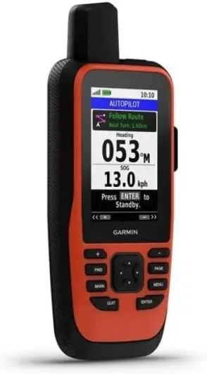
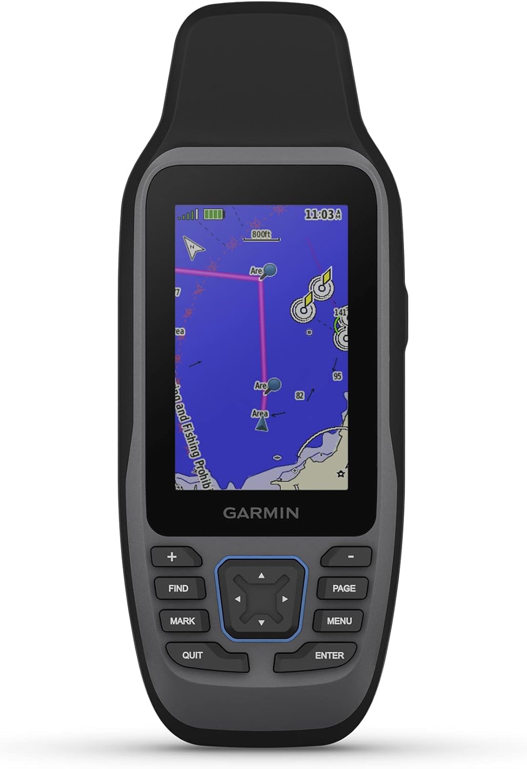
Current chartplotters from Garmin, Lowrance, and Raymarine share core technologies but implement them differently. The Garmin GPSMAP range, including the popular Garmin GPSMAP XSV models, combines a fast GPS receiver, vivid touch display, and advanced sonar in a single unit that includes networking ports for radar and autopilot. Lowrance GPS units focus strongly on fish finder performance, pairing powerful sonar with detailed maps that appeal to anglers who also cruise on their yachts.

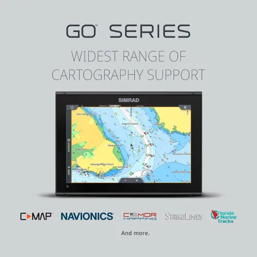
Raymarine Axiom chartplotters stand out for their fluid user interface and sharp touch display that handles pinch to zoom on maps as smoothly as a tablet GPS. Many Raymarine Axiom units ship with Navionics charts preloaded, while Garmin Navionics cartography is now integrated into both Garmin ECHOMAP and Garmin GPSMAP series for consistent coverage. When you compare these products, check whether a subscription required note appears for premium layers such as satellite photos, advanced routing, or crowd sourced depth data.

Sonar technology also matters for yacht maintenance and safety, not only for fishing. A quality transducer paired with an ECHOMAP UHD or GPSMAP XSV unit can reveal poorly charted shoals, underwater obstructions, or silting in your home marina that might threaten your keel or stabilizers. For more technical rigging guidance on deck hardware that complements your navigation upgrades, review specialized resources on high performance sailing blocks and pulleys before planning a full electronics refit.

Choosing the right screen size, layout, and installation for your yacht

Screen size is the first specification most yacht owners notice when comparing the best marine GPS navigation systems. A compact 7 inch Garmin ECHOMAP unit suits a secondary helm or tender, while a 12 inch or 16 inch Garmin GPSMAP or Raymarine Axiom display becomes the natural centerpiece of a bluewater navigation station. Larger gps units allow you to split the display between charts, radar, and fish finder views without sacrificing legibility in rough conditions.

Layout decisions extend beyond the main map window and into how you arrange data overlays. Many skippers prefer to fill the right side of the touch display with real time depth, wind, and speed, leaving the central map clear for Navionics charts and AIS shipping targets. When you configure a Lowrance or Garmin marine GPS, experiment with different chart, radar, and sonar combinations until the unit includes every parameter you routinely monitor offshore.

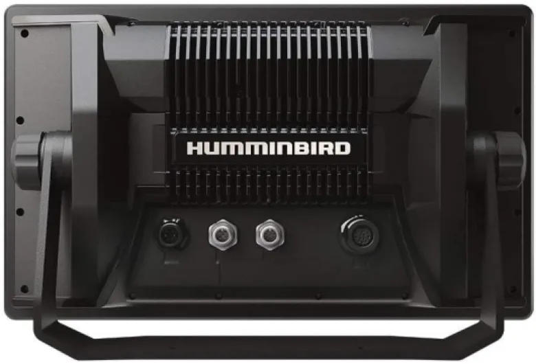
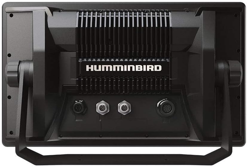
Installation quality determines whether your new marine electronics perform reliably over time. Flush mounting a GPS navigator in a protected console reduces glare and protects connectors, while a bracket mounted tablet GPS or smaller gps receiver can serve as a backup at the chart table. When you upgrade navigation, it is also an ideal moment to evaluate deck control systems such as those covered in this guide to top boat rope clutches, ensuring your yacht handles as precisely as your charts suggest.

Cartography, Navionics charts, and data costs for yacht cruising

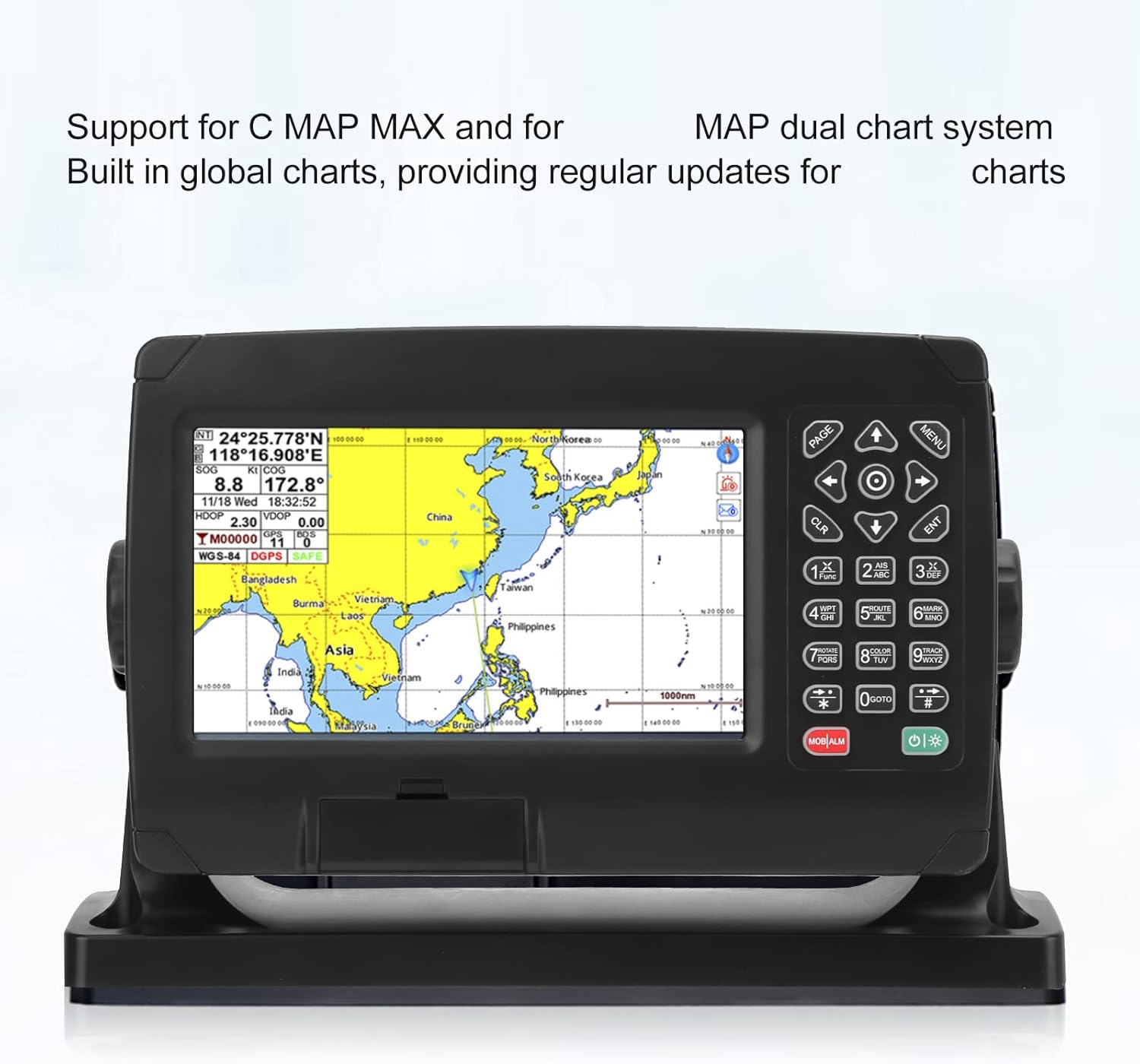
Chart quality defines how much confidence you can place in even the best marine GPS navigation systems. Garmin Navionics cartography, now standard on many Garmin GPSMAP and Garmin ECHOMAP models, offers detailed maps with depth shading, marina information, and community edits that highlight hazards reported by other skippers. Raymarine Axiom and Lowrance units also support Navionics charts, giving you consistent coverage whether you sail the Great Lakes or remote island chains.

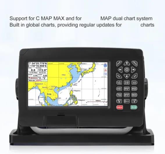
Before purchase, always check which charts the unit includes and which require extra payment. Some products ship with coastal maps only, while others bundle inland waterways, Great Lakes coverage, or even global charts, and this dramatically changes the effective price of your marine GPS. Certain advanced layers, such as satellite imagery or automatic route suggestions, may show a subscription required note, so calculate the long term cost rather than focusing solely on the initial price tag.

Many brands advertise free chart updates for a limited time, often covering the first year of ownership. After that period, you typically renew access to updated maps and Navionics charts through an online store linked to your GPS units or tablet GPS app. For active yacht navigators who log serious miles, staying current with buoy moves, dredging, and new shipping lanes is not optional; it is a core safety practice that protects both hull and schedule.

Integrating sonar, fish finders, and accessories into a yacht tech upgrade

Yacht owners increasingly treat sonar as a structural safety tool rather than a fishing luxury. A high quality transducer feeding an ECHOMAP UHD, GPSMAP XSV, or Lowrance fish finder gives you real time depth profiles that reveal steep drop offs, coral heads, or uncharted wrecks beneath your keel. When your marine GPS overlays this sonar data on the main map, you gain a three dimensional understanding of the seabed that charts alone cannot provide.

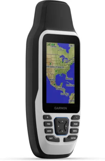
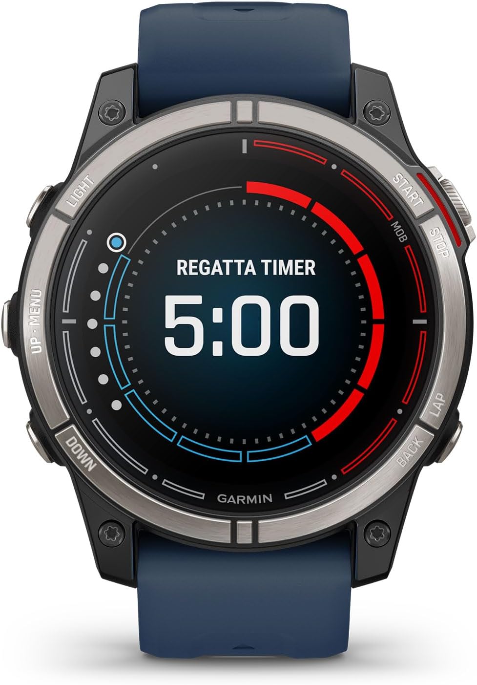
Thoughtful selection of accessories marine components completes the system. External GPS receiver antennas improve accuracy under hardtops, while NMEA 2000 networks link your gps navigator to autopilots, wind instruments, and engine data so the unit includes every parameter you need on one display. Many experienced skippers also carry a rugged tablet GPS with offline maps as a backup, mirroring routes from the primary Garmin, Lowrance, or Raymarine electronics for redundancy.

When planning a refit, allocate budget for both core products and supporting accessories marine items such as brackets, cabling, and protective covers. The apparent price gap between entry level and premium marine electronics narrows once you factor in these extras and the labour required to install a through hull transducer correctly. To complement your navigation upgrade with personal gear that performs in harsh weather, consult curated reviews of top sailing jackets for men and women so crew comfort matches your new tech standards.

Maintenance tips and long term care for yacht GPS systems

Once installed, the best marine GPS navigation systems demand regular care to deliver reliable service on extended cruises. Salt, UV exposure, and vibration gradually degrade connectors, displays, and internal electronics, especially on open flybridge helms. A simple routine of rinsing the touch display with fresh water, inspecting seals, and checking cable strain relief after each passage extends the life of your gps units significantly.

Software maintenance is equally important for Garmin GPSMAP, Garmin ECHOMAP, Raymarine Axiom, and Lowrance devices. Schedule time at least twice per season to update firmware, refresh Navionics charts, and verify that the GPS receiver acquires satellites quickly in your usual cruising grounds. Many owners use marina Wi Fi or a mobile hotspot to download free updates where available, then confirm that every map, overlay, and sonar feature still behaves as expected before leaving the dock.

Physical checks should include verifying that the transducer face remains clean and free of marine growth, since even a thin layer of fouling can degrade fish finder performance and depth readings. Inspect accessories marine items such as external antennas, brackets, and covers for cracks or UV damage, replacing them before failure rather than after a critical passage. Treat your gps navigator with the same respect you give standing rigging or engines, and it will reward you with precise, real time situational awareness in tight harbours and open ocean alike.

Key figures on yacht navigation electronics and GPS adoption

  • Industry surveys from marine electronics associations suggest that a large majority of new yachts above 9 m are delivered with integrated marine electronics suites that include at least one fixed marine GPS chartplotter, reflecting the shift away from paper only navigation.
  • Reports from major brands such as Garmin and Navico indicate that multifunction displays combining GPS, sonar, and radar represent a significant share of chartplotter products sold, showing strong demand for all in one gps navigator solutions.
  • Market analyses of recreational boating in North America estimate that Great Lakes and inland waterways account for a substantial portion of chart sales for Navionics charts and similar map providers, underlining the importance of freshwater coverage for committed yacht owners.
  • Surveys of offshore cruising sailors published by leading yachting magazines suggest that many skippers carry at least one backup navigation device, such as a tablet GPS or handheld gps receiver, in addition to the primary helm mounted unit.
  • Data shared by marine insurance companies consistently show that groundings remain among the top causes of hull claims, reinforcing the value of pairing accurate maps with a properly installed transducer and regularly updated best marine GPS navigation systems.

Frequently asked questions

For most cruising yachts between 10 m and 18 m, a 9 inch to 12 inch touch display offers the best balance between readability and helm space. Smaller 7 inch gps units work well as repeaters or on secondary helms, while larger 16 inch screens suit bluewater yachts with ample console area. Always mock up the chosen size with cardboard at the helm to check sight lines and glare before committing.

A tablet GPS with quality charts is an excellent backup and planning tool but should not fully replace a fixed marine GPS on an offshore capable yacht. Tablets are more vulnerable to water, heat, and battery issues, and their internal GPS receiver may be less accurate under hardtops. A dedicated gps navigator with a proper antenna, rugged housing, and NMEA integration remains the primary choice for serious cruising.

Many yacht owners benefit from pairing their chartplotter with at least a basic depth capable transducer, even if they do not fish. Real time depth profiles help you avoid uncharted shoals, monitor silting in marinas, and verify charted depths in poorly surveyed areas. For shallow cruising grounds or coral regions, a more advanced fish finder style sonar provides valuable extra detail beneath the keel.

Active cruisers should update Navionics charts or equivalent maps at least once per season, and more frequently if they sail in rapidly changing areas such as shifting sandbars or busy commercial shipping lanes. Many systems offer free updates for an initial period, after which a subscription required notice appears for continued access. Plan these renewals into your annual maintenance budget alongside haul outs and rig inspections.

A comprehensive upgrade that includes a mid range Garmin GPSMAP or Raymarine Axiom display, quality transducer, networking hardware, and accessories marine items typically starts in the low four figure range in euros. Larger screens, radar integration, and premium Navionics charts can raise the final price significantly, especially once professional installation is included. Request detailed quotes that break down hardware, labour, and ongoing chart subscription costs so you understand the true long term investment.

According to our tests, the best marine GPS navigation systems is the Simrad GO Chartplotter and Fish Finder, with Transducer and Radar Options, Preloaded C-MAP DISCOVER Chart Card 9" MFD + 83/200 XDCR with a score of 8.5/10.

The cheapest marine GPS navigation systems in our comparison is the Garmin GPSMAP 79s, Marine GPS Handheld with Worldwide Basemap, Rugged Design and Floats in Water.

The most popular marine GPS navigation systems is the Garmin GPSMAP 79sc, Marine GPS Handheld Preloaded With BlueChart g3 Coastal Charts, Rugged Design and Floats in Water with 155 customer reviews.

To choose a marine GPS navigation systems, we recommend comparing performance, build quality, value for money and user reviews. Our comparison table above helps you make the right choice.

We have tested 6 Marine GPS navigation systems to establish this ranking.
#1 Simrad GO Chartplotter and Fish Finder, with Transducer and Radar Options, Preloaded C-MAP DISCOVER Chart Card 9" MFD + 83/200 XDCR Simrad GO Chartplotter and Fish Finder, with Transducer and Radar Options, Preloaded C-MAP DISCOVER Chart Card 9" MFD + 83/200 XDCR
8.5/10 Best choice
See offer Amazon